
Structuring the white space
On orientation
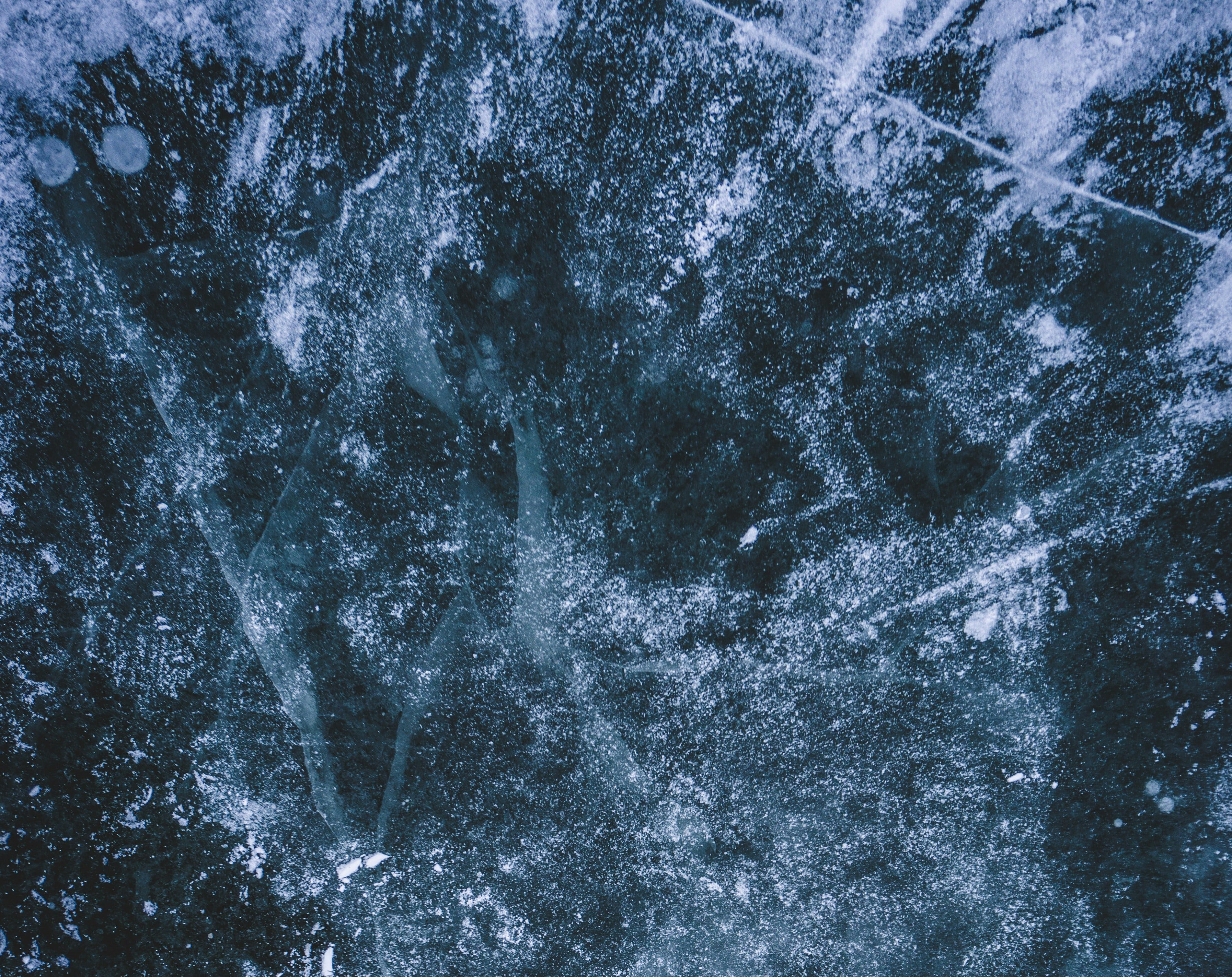
Over a century ago, a young lieutenant sent a small detachment of Hungarian soldiers into the Alps on a reconnaissance mission.
Expecting the journey to take less than a day, the expedition was soon caught in a snow blizzard the likes of which hadn’t been seen for decades.
Quickly becoming disoriented, the soldiers sought shelter beneath a cliff outcrop. As one day turned into two, and with little rations between them, they began to fear for their lives.
That was until one of the soldiers, searching through a previously overlooked jacket pocket, found a scrunched-up map.
The discovery kindled hope among the men and despite the relentless conditions, they ventured forth into the icy wilderness, moving together with renewed purpose.
Mountain features that had once been obscured began to open up.
New lines of direction came into view.
Whenever they veered off course, the map helped them reorientate.
After three days, the outline of base camp emerged. They had returned to safety.
On their arrival, the lieutenant was overjoyed. He had been certain he’d sent them to their doom.
“How did you do it?” he asked. “How did you find your way?”
One of the soldiers handed over the map.
The lieutenant inspected it closely.
“This isn’t a map of the Alps,” he said.
“It’s a map of the Pyrenees.”
I first came across a version of this story in Karl Weick’s work.